Upgrades to Kidsdata.org Help You Take Data Everywhere
Good news – we have embraced new mapping technology here at kidsdata.org. Our maps now are compatible with iPhones/iPads and other devices that are not flash-friendly. At your next meeting, you can pull up the facts you need from kidsdata on your iPad or other mobile device.
Our maps now are not only compatible with these devices, but also printer-friendly. These full color, compelling maps make interesting handouts or packet inserts (and they are free, like everything on kidsdata.org). Simply navigate to any map of interest and use your browser’s “Print” function to get a printout of the map. See below for a few examples of the different types of maps on kidsdata.org.
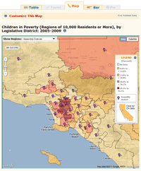
| Visiting your legislator? Take along a map of child poverty in your district. |
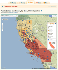
Print this map of Latino student enrollment in CA public schools. |
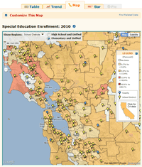
Make a case for special education in your school district with customized handouts. |
 |
 |
 |
Posted by Jordan Handcox
This entry was posted on Thursday, October 13th, 2011 at 1:32 pm. You can follow any responses to this entry through the RSS 2.0 feed. You can leave a response, or trackback from your own site.


